PT 8,100' via "Scout Route" (5.11 or 5.7 C0) - Larimer County
September 7, 2013
Partner: Brian K.
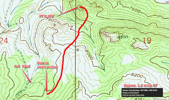
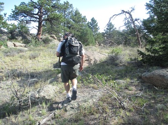
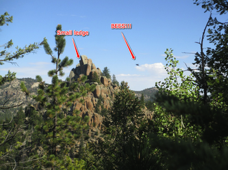
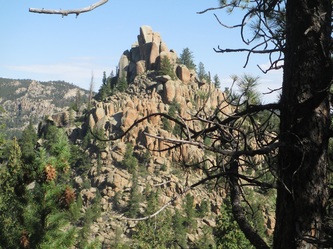
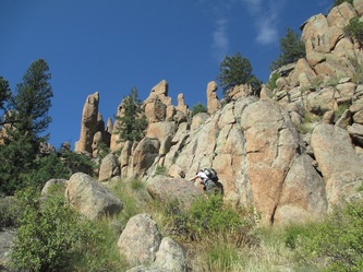
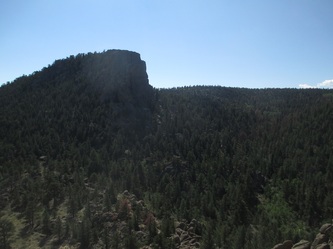
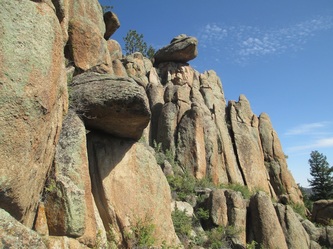
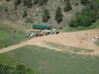
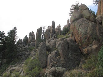
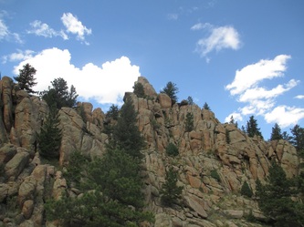
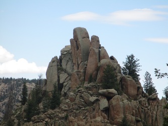
Approach: Drive to the town of Rustic, turn north on N Co Rd 69 and after a few miles turn onto USFS 168. This is a 4x4 road and although not too difficult, there are a few rugged sections that require some clearance and four wheel drive. Drive across the Pingree Hill area and park at a large pull-off that is marked on the map below. Hike across fairly open terrain until 8,100' rears into view. Drop into the valley below and find the path of least resistance up the SE slopes. Continue up as high as possible until you are immediately east of and below the imposing summit pinnacle. Expect a few 4th class sections while moving through the rocky sections but nothing should be harder than 5.0. Rope up below a short technical flake below the final ledge below the summit pinnacle.
Route:
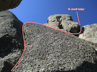
P1 - 5.4 - Climb a short weakness and reach a small stance right before steeper terrain leads toward the summit block. 40'
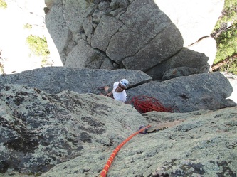
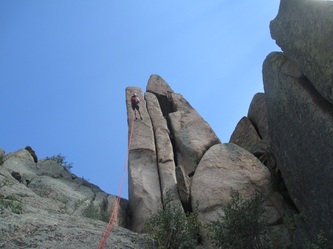
P2 - 5.7 - A nice hand and finger crack leads up to another small block right under the summit. Balance across the block and climb a short but awkward crack to the right that will put you on a narrow exposed ledge on the north side of the summit block. 60'
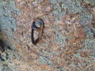
P3 - 5.7 C0 or 5.11 - Climb straight up the steep face by ferocious free climbing or french-freeing right to the top. 3 bomber bolts protect this. 20'
Descent: From a large eyebolt, rappel 100' straight to the west (opposite side from where you came up). Scramble back around to your packs.
Gear:
C4s: 0.5, 1, 3, 4
3 draws
**The 3 and 4 are crucial for building a belay on the final ledge. Otherwise a very light rack will suffice.
Thoughts: I have been plotting 8,100' for at least 2 years and am very happy to be lucky enough to have stood on it's summit. Early recon had made me guess that the summit would require extremely difficult free climbing or aid climbing, but we were very fortunate to discover a relatively simple way to the top. I would guess that the nearby Boy Scout camp leads trips up this formation thus explaining the bomber bolts and summit anchor. This is one of the best summits I have been on in Larimer County and is well worth the trip. Although we approached via National Forest land and did not encounter any signage or fences, be sensitive of the potential private property issues. The list of 5.x peaks in Larimer County is quickly disappearing these days! Next up, Camel Rock!
And for all those scouts out there...
