"Croiser Dome" via West Ridge (5.2)
PT 8,042' via Northeast Slopes
July 1, 2013
Crew: Jen, Don
Stats: Approx. 3.5 miles, 2,200' gain
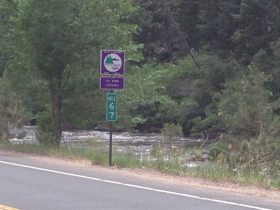
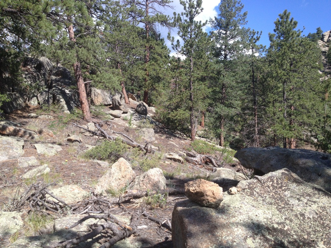
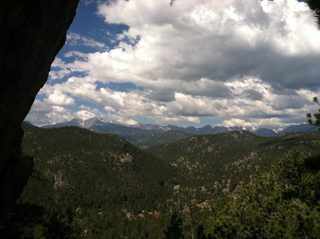
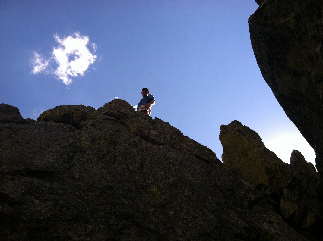
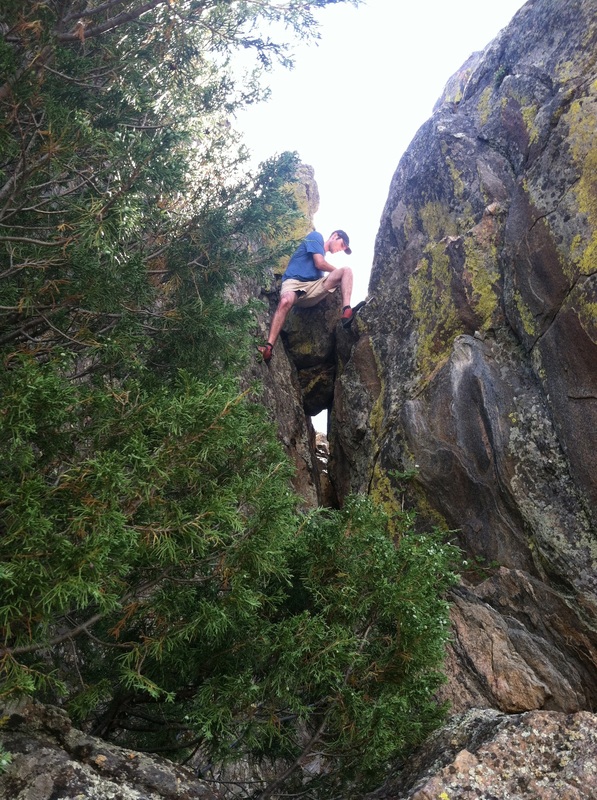
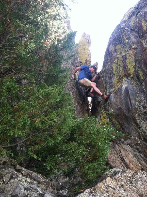
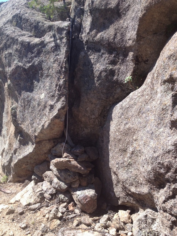
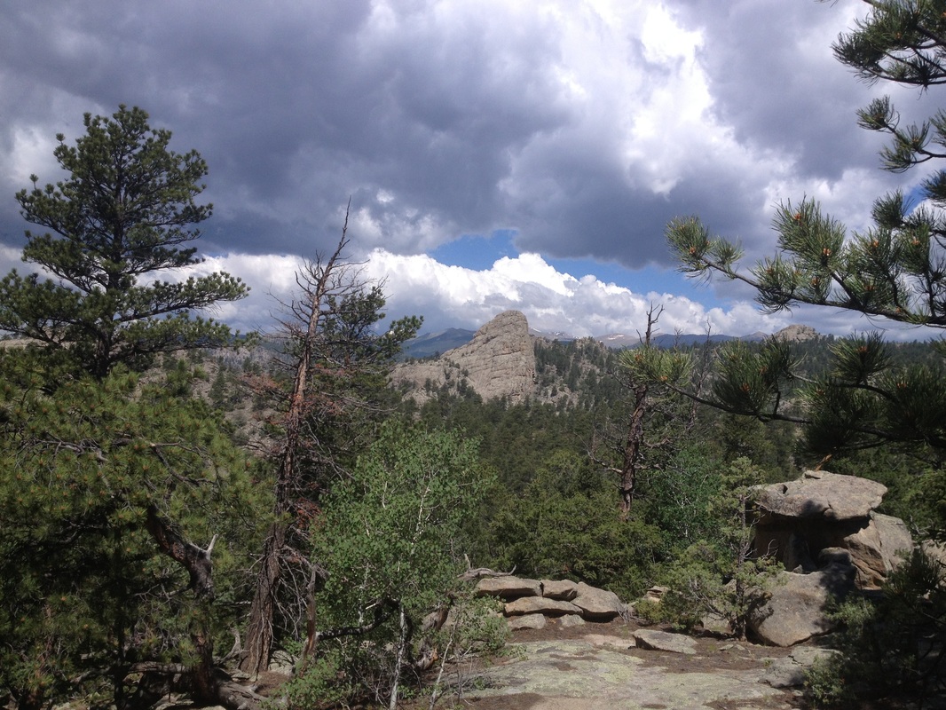
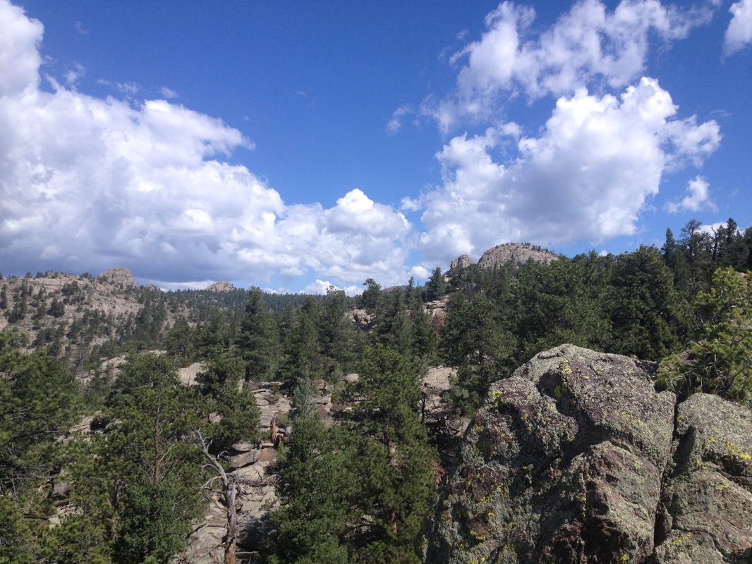
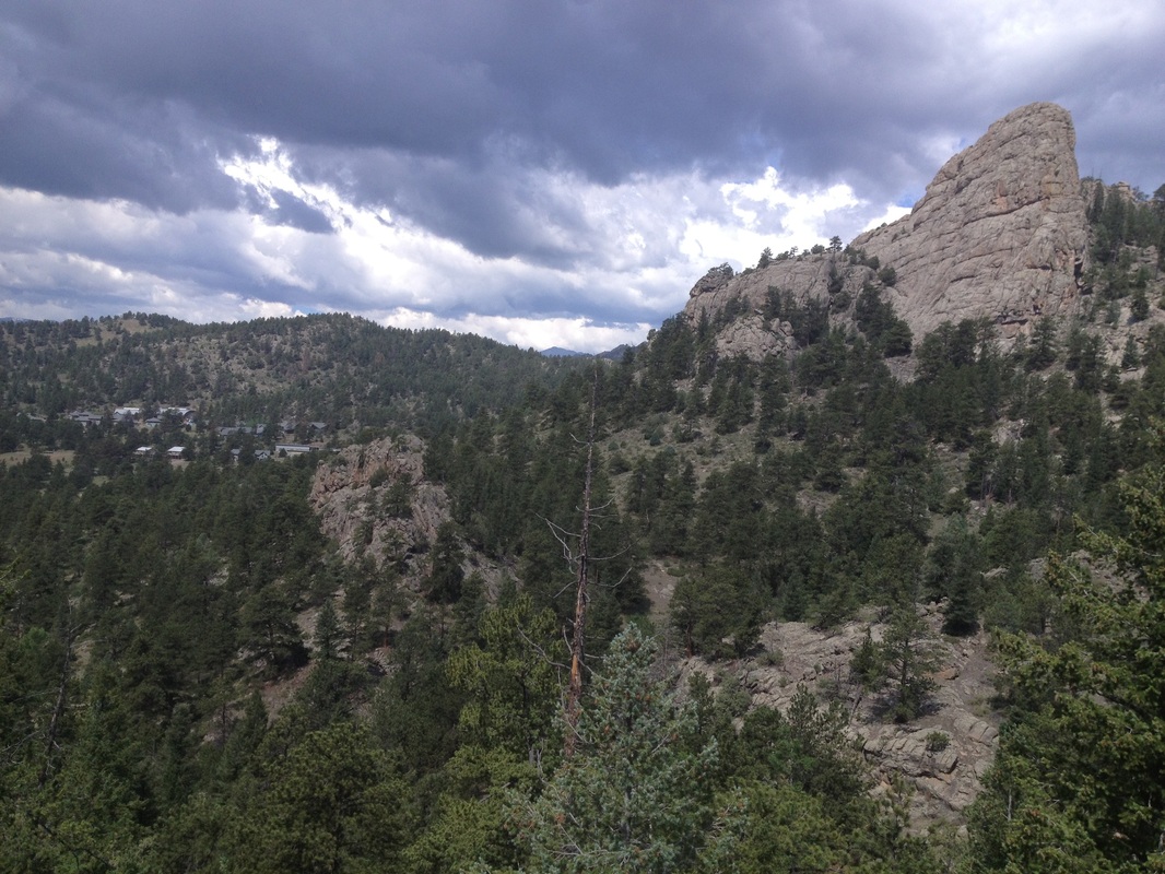
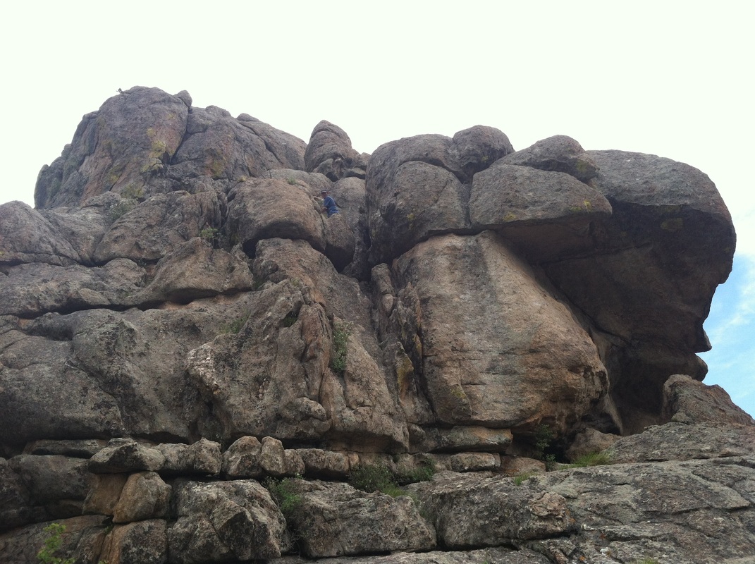
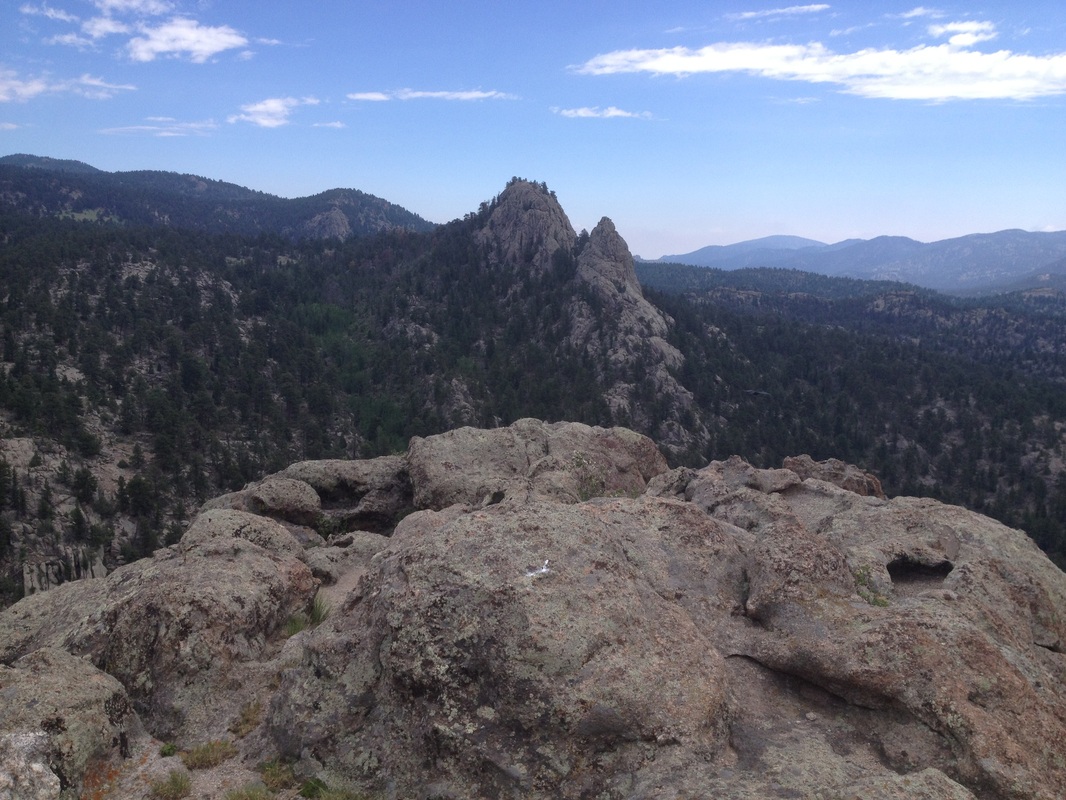
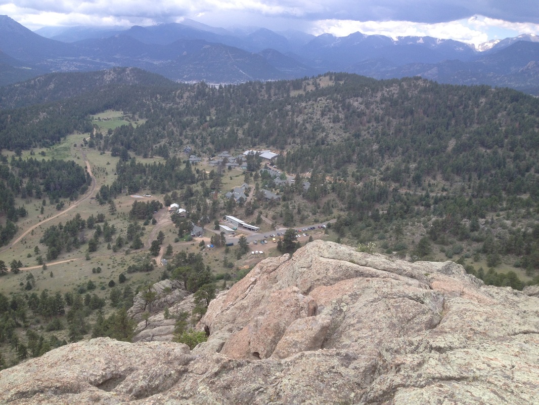
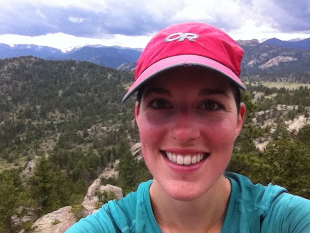
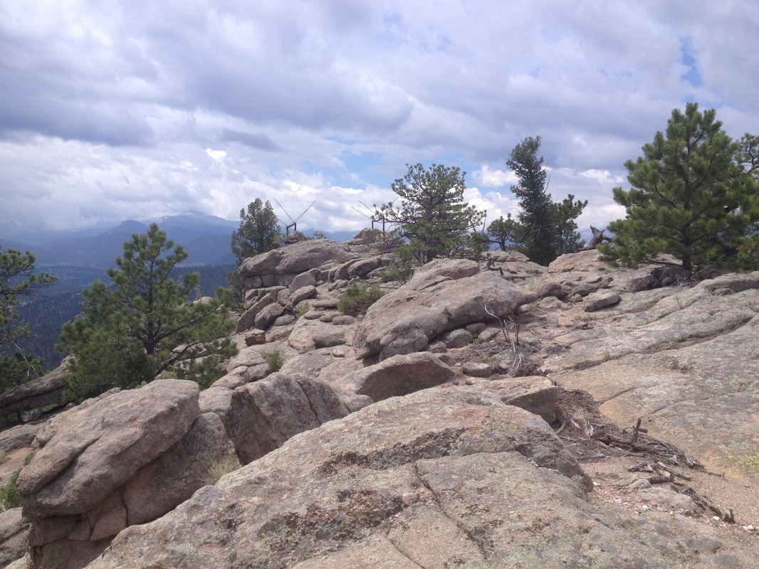
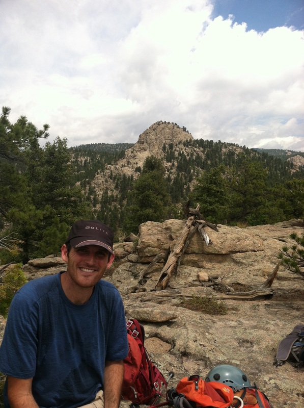
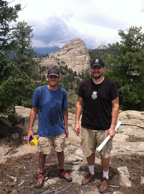
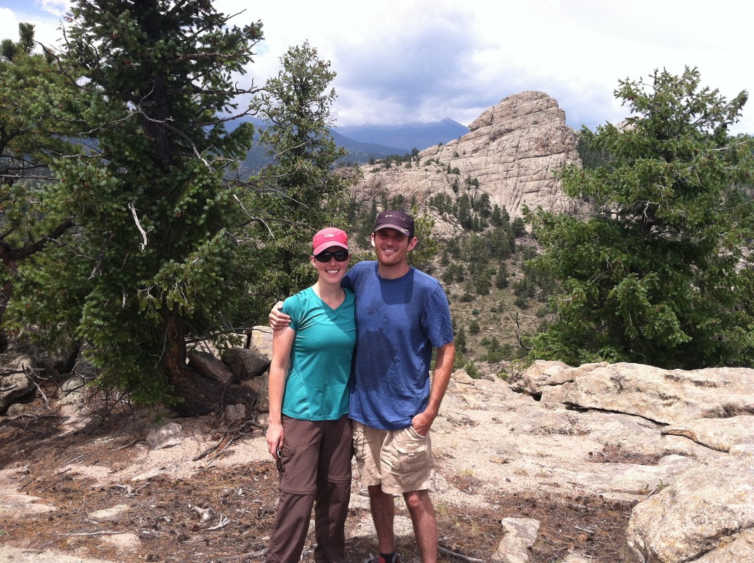
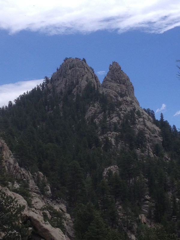
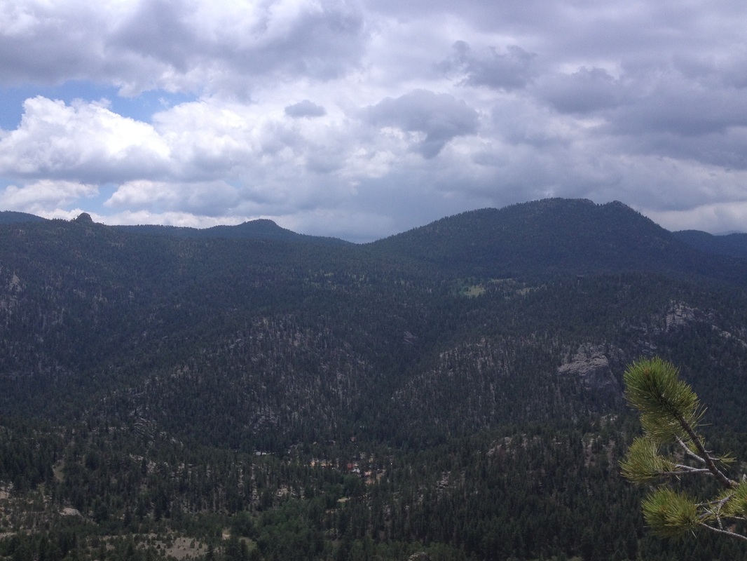
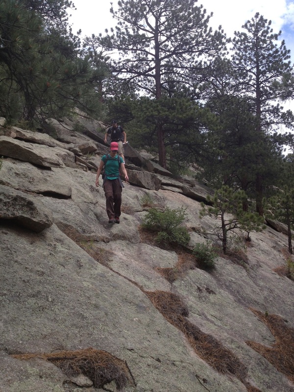
I first noticed "Croiser Dome" looming above HWY 34 when I worked in Estes Park back in 2007. Since then, I've stared at it every time I drive east from Estes. It's rocky summit plays hard to get, and is only visible on two corners on the highway. Unknown to me, my buddy Don had also noticed it and heard it's siren call. He had dug deeper than I had and had figured out the formation's name although not marked on the map. We quickly made plans to go attempt this little documented peak, and plotted navigating the landscape from the south. Wanting to steer clear of the many houses, we parked at a small pulloff right at mile-marker 67 and worked directly up the slopes above the road. The terrain was easy to navigate, and we quickly worked to the base of "Croiser Dome". We had noticed a party (students?) climbing on the south face, so we worked around the north side until we found the weakness on the west ridge. Dropping our packs, we quickly scrambled to the summit, paused briefly, and scurried back down. To our surprise, one of the climbers topped out ten feet from our ledge and we were shocked that they didn't notice us. Not wanting to linger, we breezed back the way we came and soon sat atop the nearby PT 8,042. The summit was interesting, and in addition to having a good view of our previous summit, it also had some small antennae mounted on top. The hike out was easy and we soon appeared back on the road right next to the car. This was a very interesting summit and a fun, albeit short, scramble. I had been worried about crossing property lines, but we never saw a single sign or fence en route and was also surprised that small cairns marked most of the way.
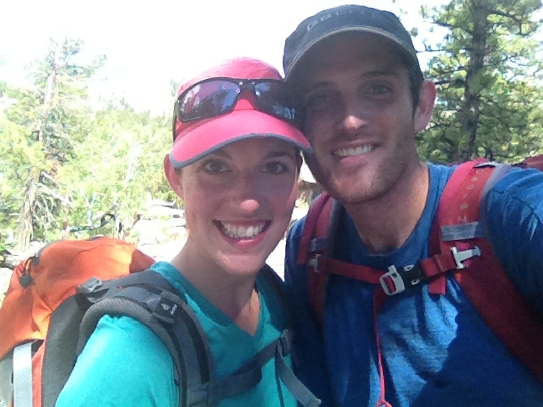
Crew: Jen, Don
Stats: Approx. 3.5 miles, 2,200' gain
I first noticed "Croiser Dome" looming above HWY 34 when I worked in Estes Park back in 2007. Since then, I've stared at it every time I drive east from Estes. It's rocky summit plays hard to get, and is only visible on two corners on the highway. Unknown to me, my buddy Don had also noticed it and heard it's siren call. He had dug deeper than I had and had figured out the formation's name although not marked on the map. We quickly made plans to go attempt this little documented peak, and plotted navigating the landscape from the south. Wanting to steer clear of the many houses, we parked at a small pulloff right at mile-marker 67 and worked directly up the slopes above the road. The terrain was easy to navigate, and we quickly worked to the base of "Croiser Dome". We had noticed a party (students?) climbing on the south face, so we worked around the north side until we found the weakness on the west ridge. Dropping our packs, we quickly scrambled to the summit, paused briefly, and scurried back down. To our surprise, one of the climbers topped out ten feet from our ledge and we were shocked that they didn't notice us. Not wanting to linger, we breezed back the way we came and soon sat atop the nearby PT 8,042. The summit was interesting, and in addition to having a good view of our previous summit, it also had some small antennae mounted on top. The hike out was easy and we soon appeared back on the road right next to the car. This was a very interesting summit and a fun, albeit short, scramble. I had been worried about crossing property lines, but we never saw a single sign or fence en route and was also surprised that small cairns marked most of the way.